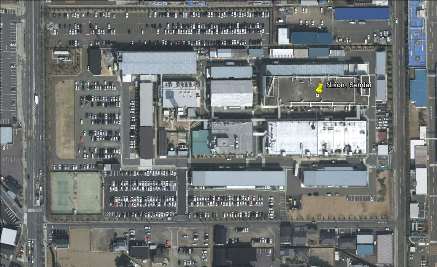
Google released post-earthquake satellite images of the impacted areas in Japan. You can download the KLM file from their blog and explore it in Google Earth. Those are the before and after satellite images of the Nikon plant in Sendai (click on images for larger view):
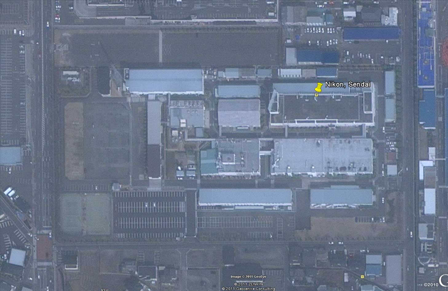
The after image was taken on March 13, two days after the earthquake (you can find it in Google Earth by using this address: Sendai Nikon Corporation 277, Aza-hara, Tako, Natori, Miyagi 981-1221):
There are no visible structural damages to the buildings. If you zoom out and move east, you will see where the major devastation happened.